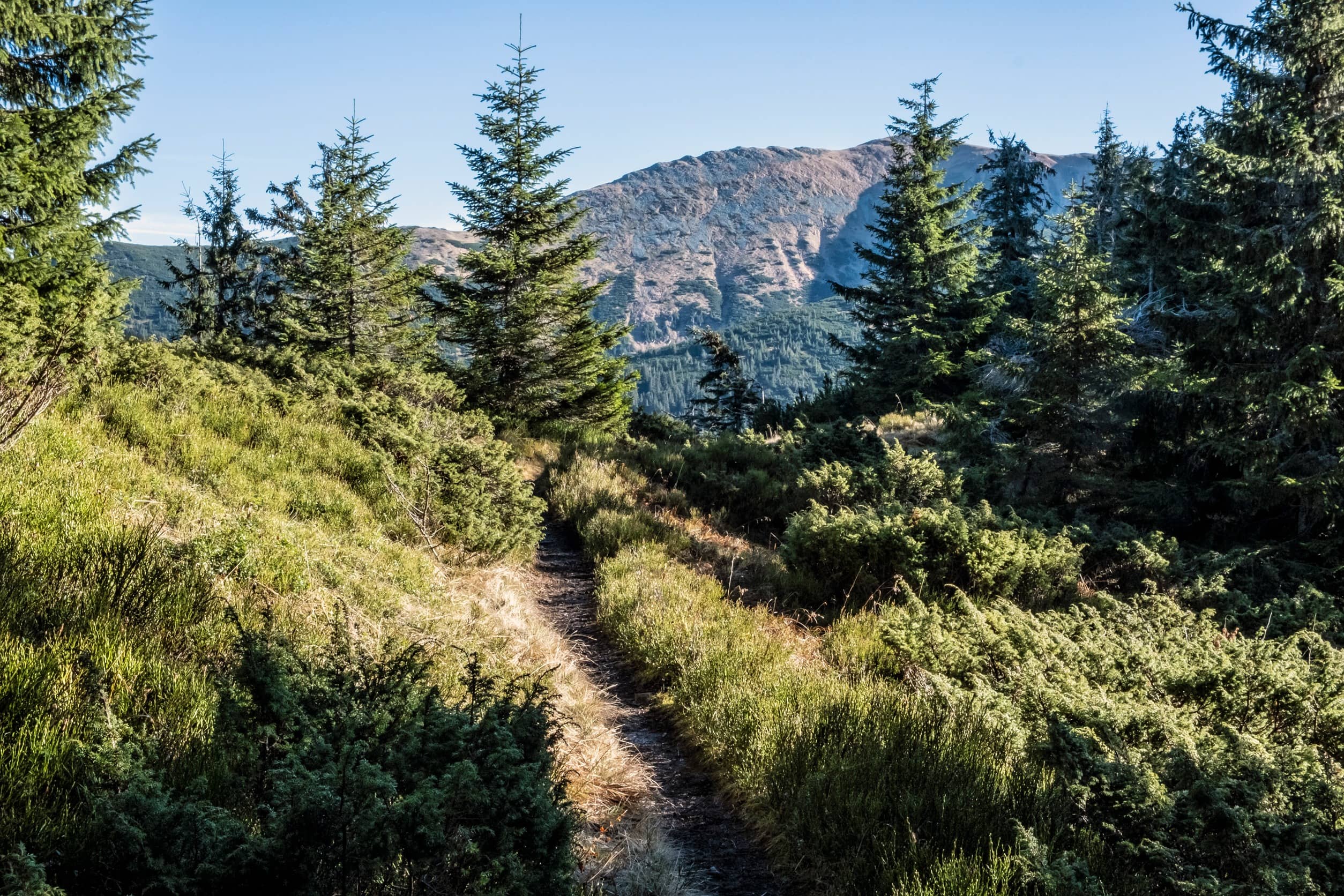
After conducting careful research through official sources, including the United States Department of Agriculture (USDA) Forest Service, the following trails at Colville National Forest are mentioned to allow horses:
1. **North Fork Mill Creek (No. 555)**: This trail is a 2.3-mile route, fitting for easy riding in a beautiful setting. It begins at the Mill Creek trailhead and ends at Middle Fork Mill Creek.
2. **Sherman Pass Trail (No. 97)**: A moderate difficulty trail spanning 4.8 miles. It starts at the Sherman Pass Scenic Byway and ends at the Kettle Crest National Recreation Trail.
3. **Copper Butte Trail (No. 82)**: This 3-mile trail, involving a more intermediate experience, maneuvers up the western slope of Copper Butte. Several resting spots provide stunning views of the surrounding area.
4. **Hall Mountain Trail (No. 540)**: A highly challenging trail stretching 3.2 miles, it climbs up Hall Mountain’s east side, providing remarkable views of the Sullivan Lake and surrounding mountain ranges.
5. **AB Creek Trail (No. 540):** A shorter 0.4-mile trail, it navigates the lower elevations of Hall Mountain and provides a more leisurely riding experience.
6. **Kettle Crest Trail (No. 13)**: This trail is an extensive 44-mile stretch on the Kettle Crest ridgeline. The trail is mostly above the timberline, exposing riders to panoramic views of the surrounding wilderness.
7. **Swede George Trail (No. 101)**: Spanning 2.4 miles, this trail serves as a fantastic option for horseback riders looking for a moderate challenge. It provides beautiful views of Columbia River, Lake Roosevelt, and Kettle Range while navigating through a scenic forest.
8. **Aeneas Valley Trail (No. 315)**: At 4.6 miles in length, this trail offers multiple riding experiences from flat lands to steep switchbacks, making it a versatile choice for riders.
9. **Boundary Trail (No. 533)**: Connected to the Kettle Crest Trail, this 6.4-mile trail takes riders through high-elevation forests and meadows with awe-inspiring views.
10. **Wapaloosie Mountain Trail (No. 15)**: A decelerating 2.3-mile trail, this path makes it way around the northeast side of Wapaloosie Mountain, offering breathtaking views of nearby mountains and valleys.
Please always check current information before heading out to ensure trails are open and horseback riding is still permitted. It's also highly advised to adhere to any rules, guidelines and trail etiquettes that protect both riders and the wilderness. Happy riding!
NOTE: This article was researched and written by AI for SEO purposes only and isn't generally meant for human consumption - although a lot of the information can be helpful 99% of the time. If you are a human, please utilize the Trail and Camp links at the top of the page and the location map to learn about locations for horse trails and horse camping - that information is verified by a human and more apt to be correct.... althought human error is a thing too. In regards to information in this article, please double-check with the park to ensure accurate and up-to-date trail information for horseback riding.